500m Gridded Bathymetry Data
Outline of 500m Gridded Bathymetry Data (J-EGG500)
Three-dimensional indication of the seabed topography prepared by J-EGG500. Land portion is due to GTOPO30 (USGS).
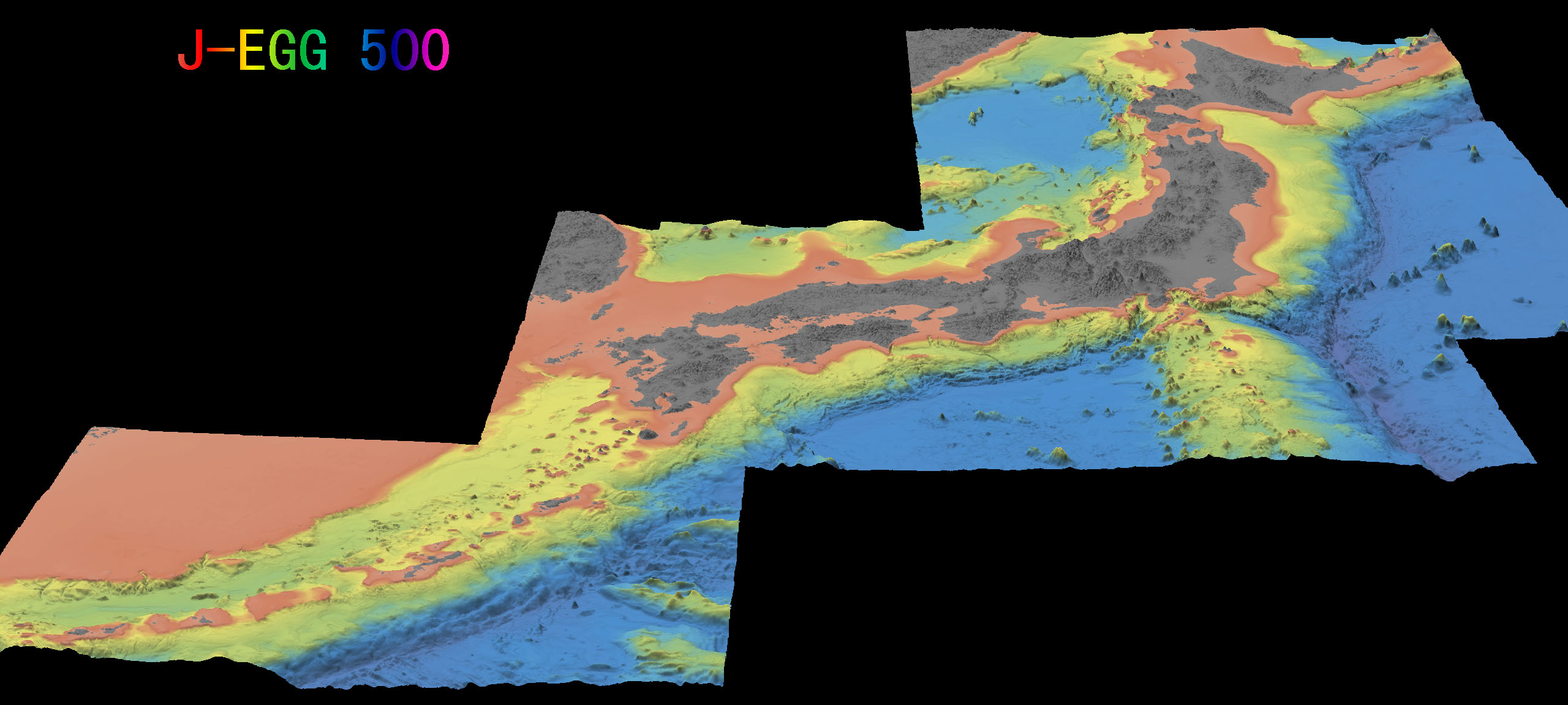
* * Click the image to see the enlarged one. * *
- Explanation of Data 500m Gridded bathymetric feature data around Japan ((J-EGG500:JODC-Expert Grid data for Geography)integrates a huge amount of depth measuring data obtained by the various marine survey institutions including the Hydrographic and Oceanographic Department of Japan Coast Guard and is a dataset of the bathymetry gridded at regular intervals for user friendly.
- Data Format Classification (0 or 1), Latitude (unit: degree), Longitude (unit: degree), Depth (unit: m)
Because there is a density in the bathymetry by which various data with different quality are mixed and by sea areas, a smoothing processing is performed for the zones where the measured depth exists and it is considered not to generate the difference level due to the difference in the quality (On the other hand, there is also an adverse effect that the small relief can not be depicted.
In addition, in the near data blank area and also zones with the drastic bathymetry changes, etc. (coastal areas or near the seamount), there are places with a large difference from the actually measured bathymetry value. Please use the data in consideration of these things.
Dataset is comprised of the following three territories.
Territory 1 North Latitude 34~46 degrees, East Longitude 135~148 degrees (Standard Parallel North Latitude 36, 44 degrees)
Territory 2 North Latitude 30~38 degrees, East Longitude 128~144 degrees (Standard Parallel North Latitude 31, 37 degrees)
Territory 3 North Latitude 24~30 degrees, East Longitude 122~132 degrees (Standard Parallel North Latitude 25, 29 degrees)
J-EGG Grid are based converting each zone into the plane coordinates of the meter scale using the Lambert Conformal Conic Projection by two standard parallels and is prepared as a 500m square grid. It is not a gridded data along the longitude and latitude. Data is only for waters and it does not include data on land.
・Format [I1、F10.5、F10.5、I6 ]
・Classification 0: Bathymetry determined from the measured depth or depth contour, 1: Bathymetry prepared by the interpolation processing.
・ Geodetic system has adopted the world geodetic system (WGS-84).
In the following figures, the existing position of data is shown at a point.
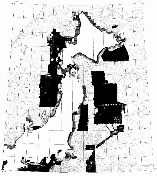
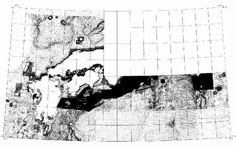
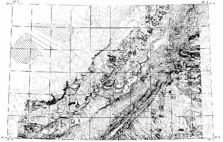
erritory 1, Territory 2, Territory 3 are shown in order from the left side. Click the figure to see the enlarged one.